In a nutshell
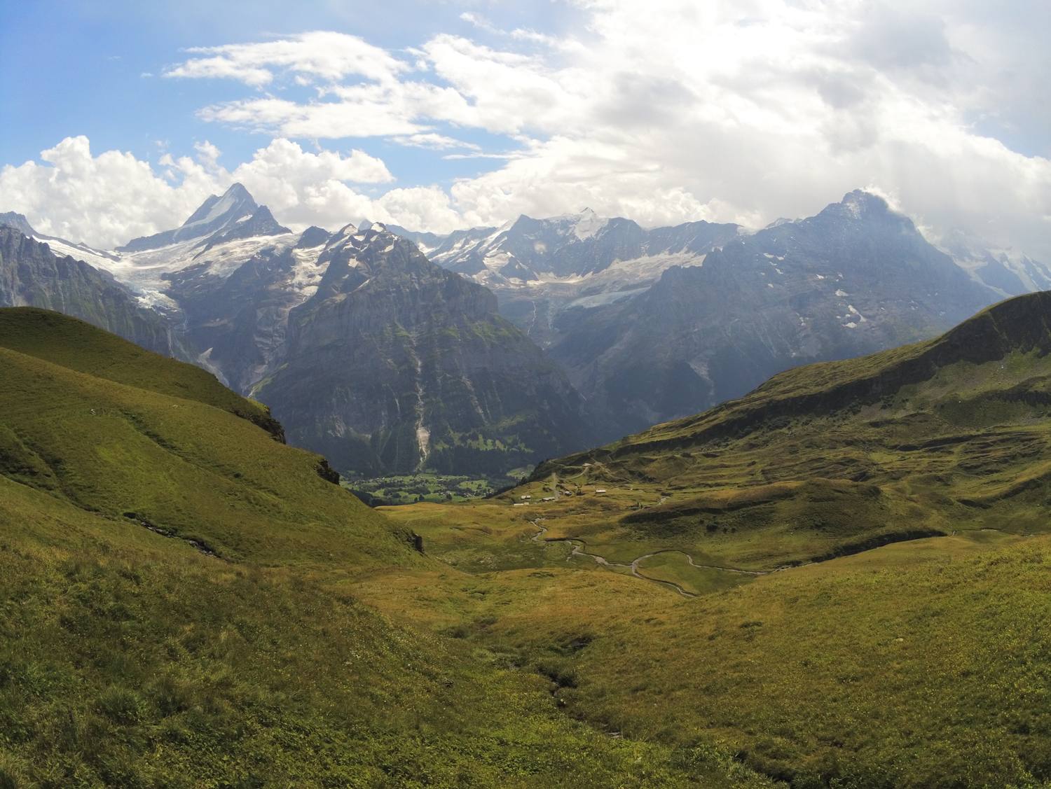
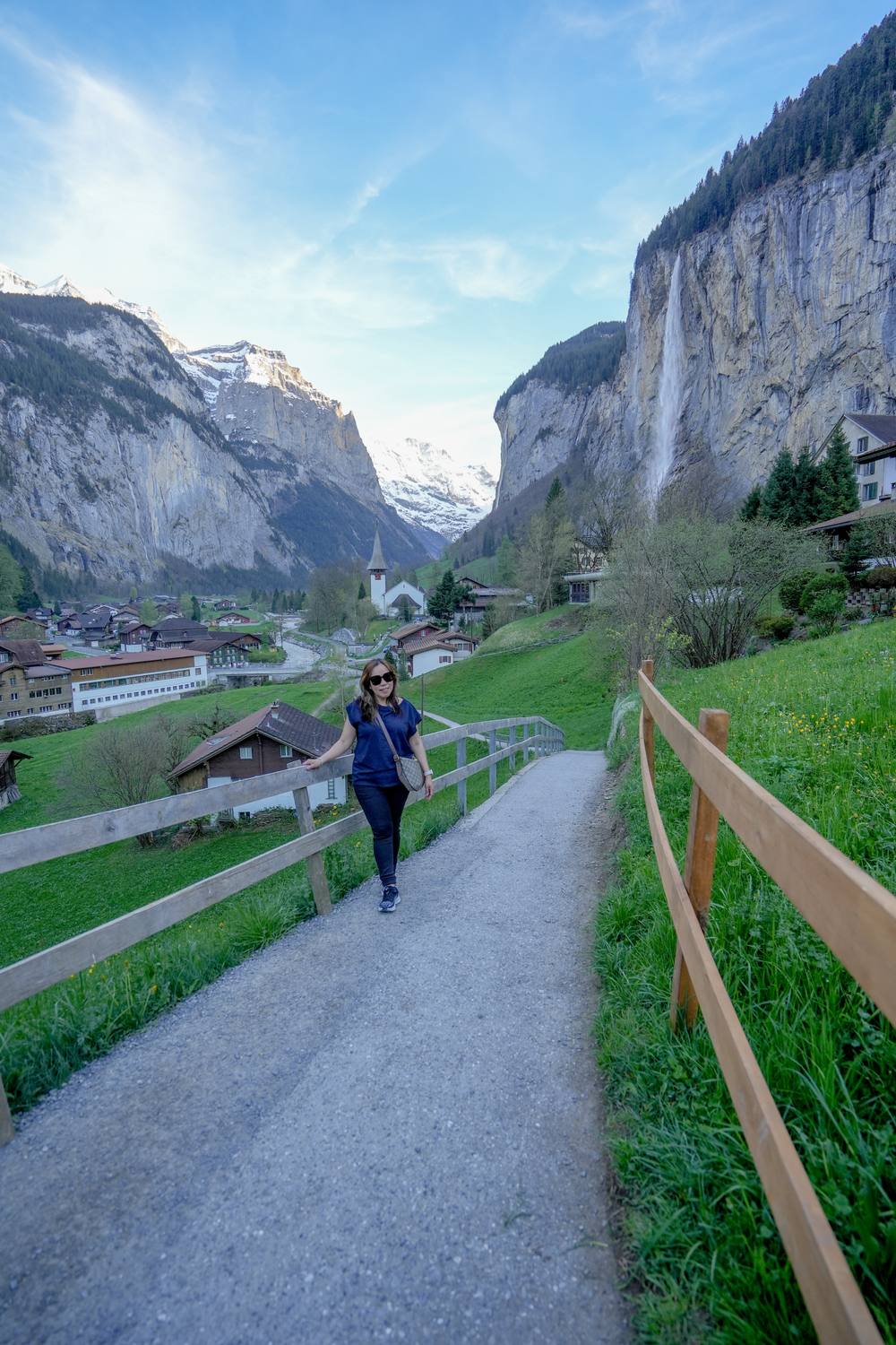
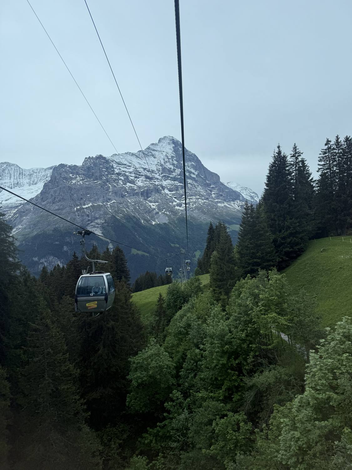
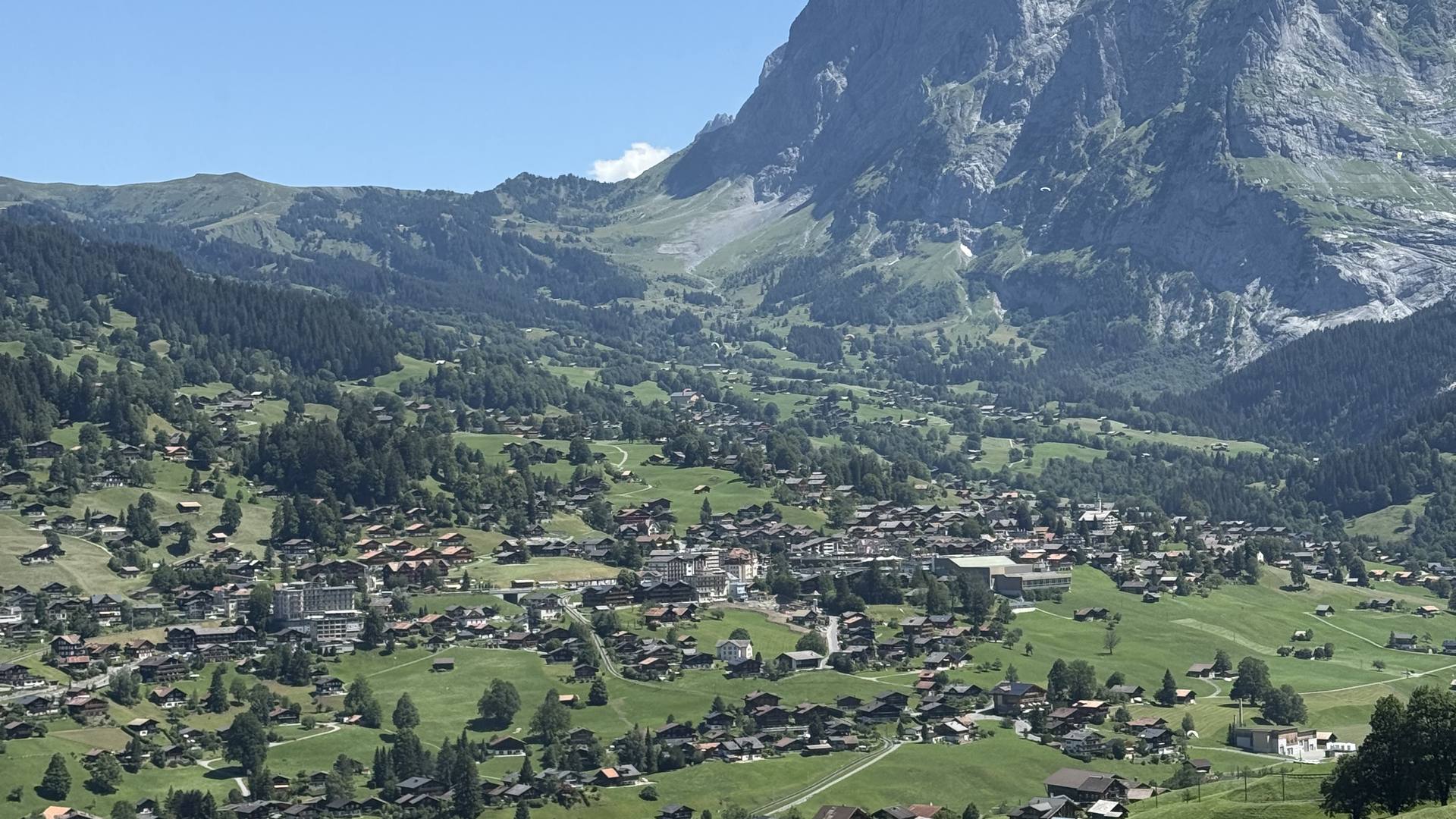
Grindelwald lies in a high valley directly under the north face of the Eiger, and that wall is visible from almost every street in the village. It grew from a farming community into one of the oldest mountain resorts in the Alps, but cows and hay barns are still part of the picture. Two glaciers once reached down towards the village, and how far the ice has retreated is marked along the walking trails. From here the Jungfraujoch, First and Männlichen are all reachable by railway or cable car, so you gain a lot of altitude without walking. In summer it is a hiking and biking base, in winter a ski area, and the view of the Eiger does not change either way.
Landmarks
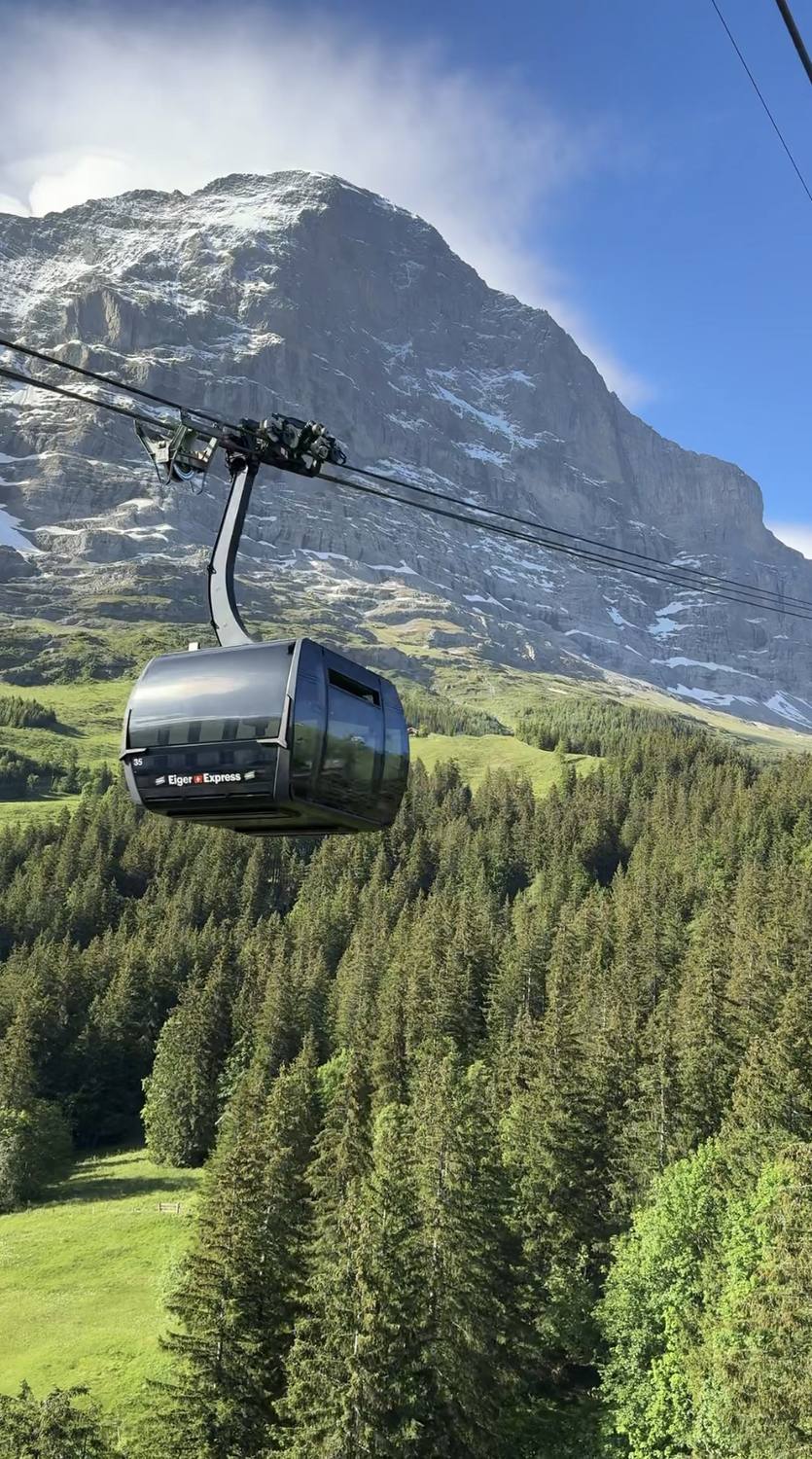
Eiger North Face
One of the most famous mountain faces in the world, right above the village.
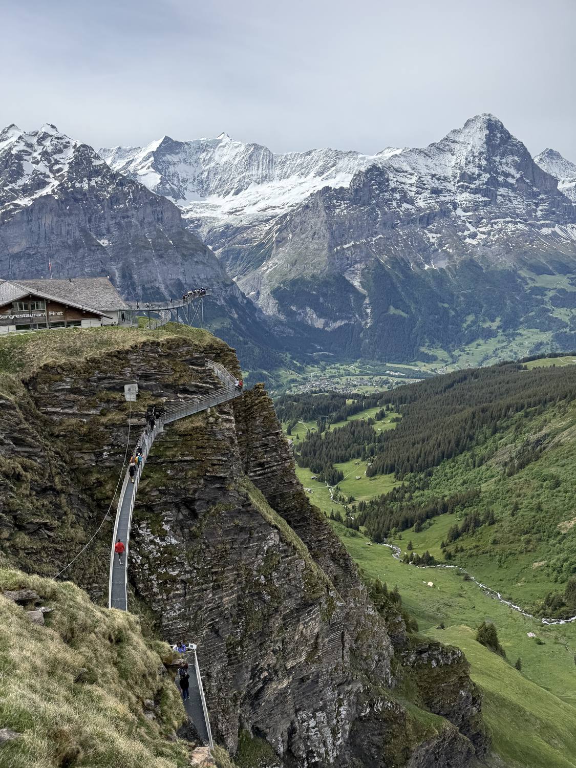
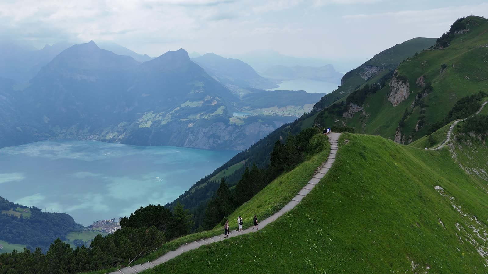
First cliff walk view
A panoramic walkway high above the valley.
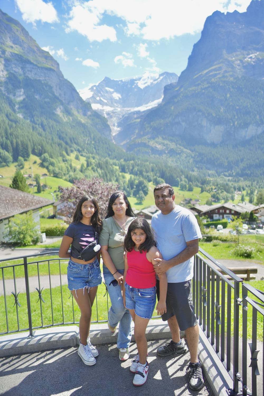
Grindelwald village
Alpine chalets, cowbells and hiking trails right from the doorstep.
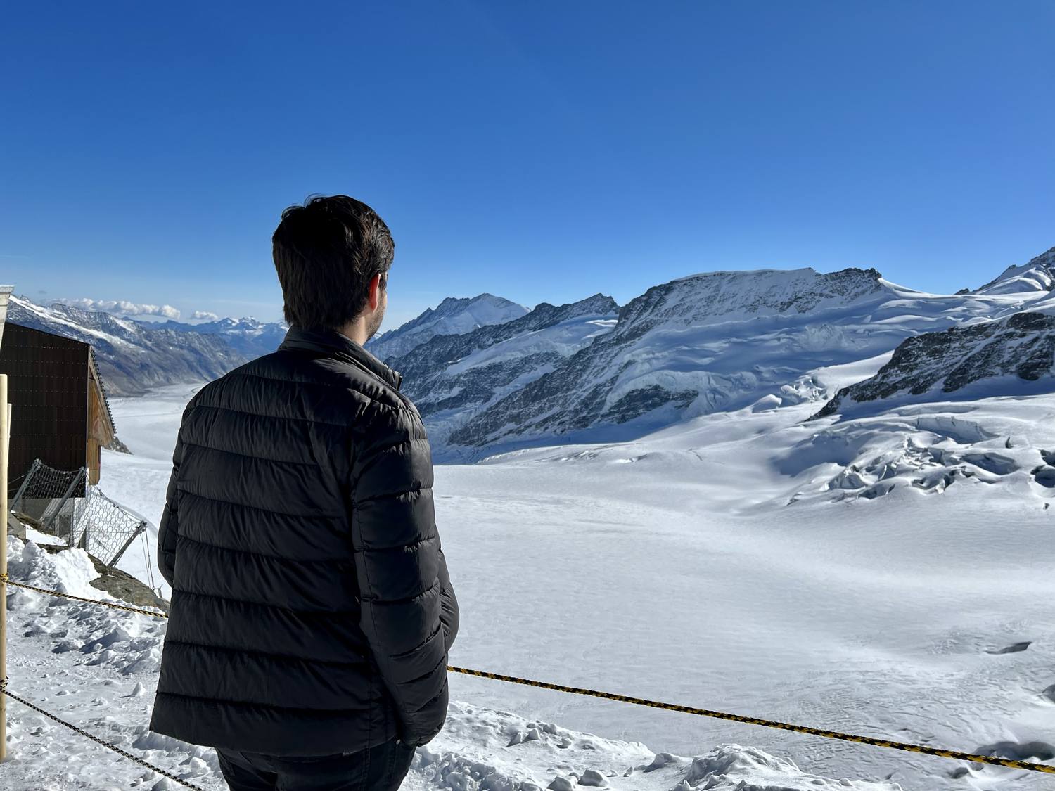
Jungfraujoch
"Top of Europe", reachable by cogwheel train from the valley.
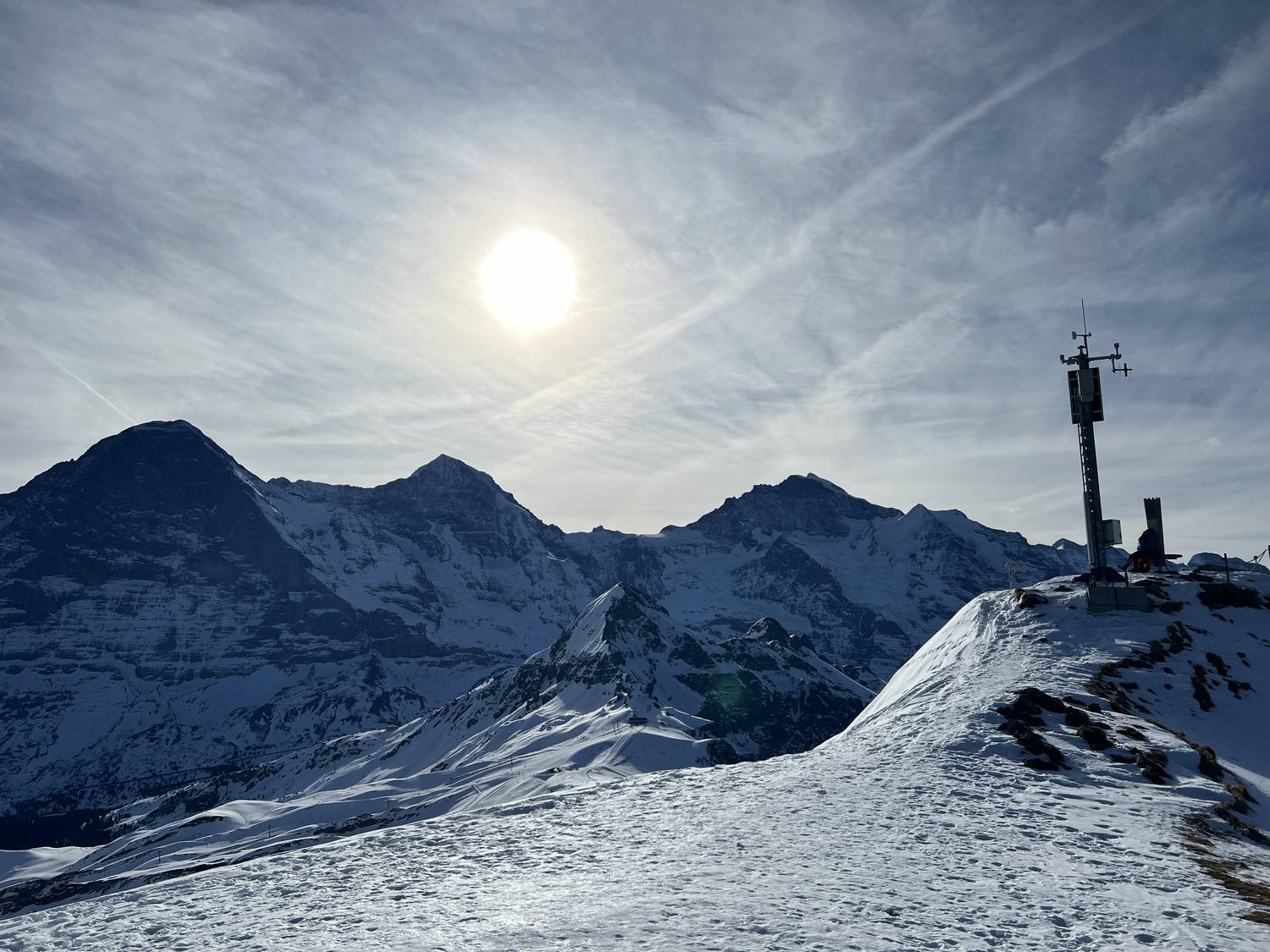
Männlichen
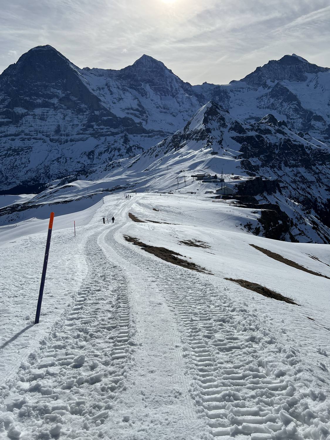
A panoramic ridge reached by gondola, with views over three valleys.
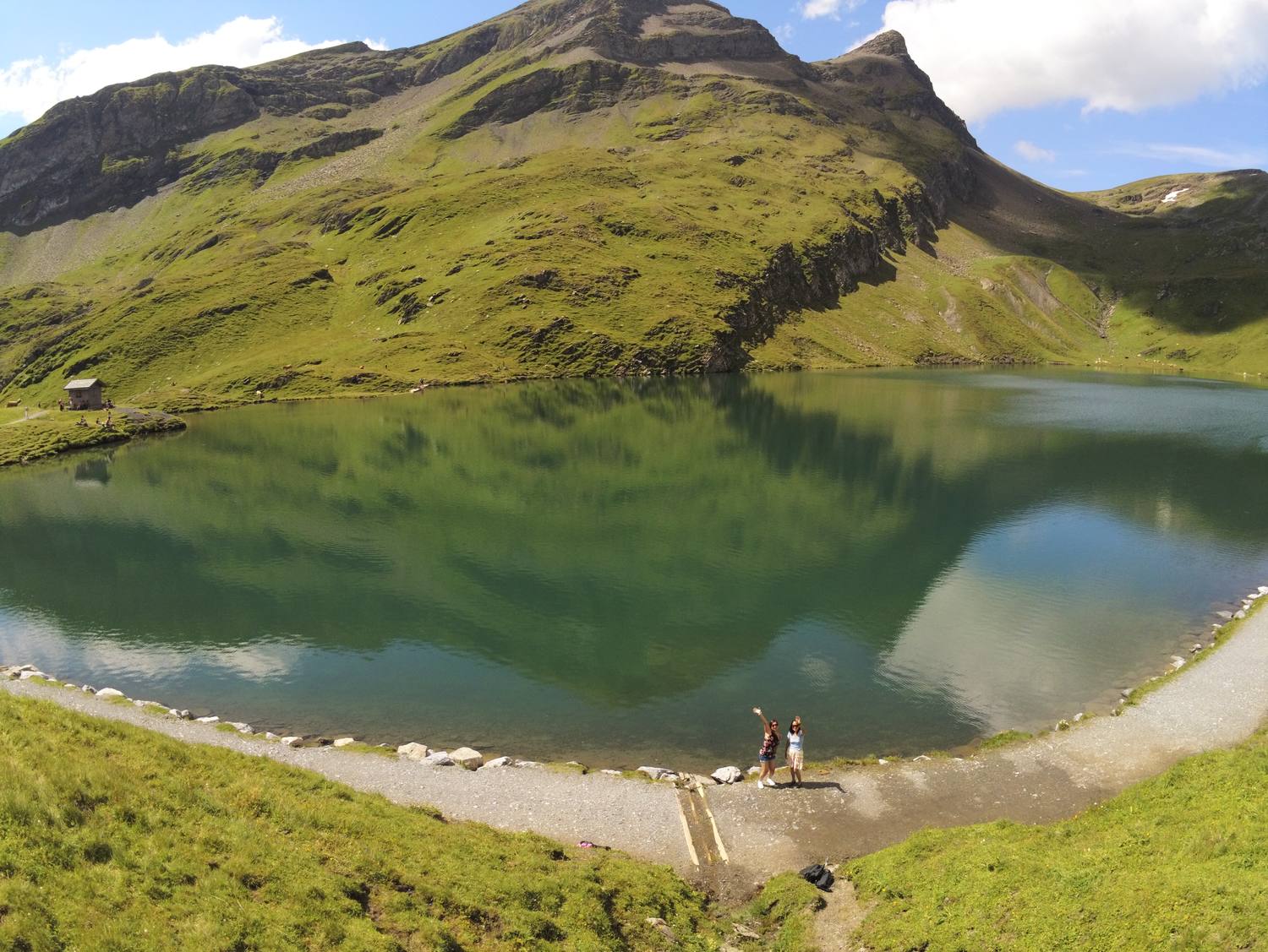
Bachalpsee
A mirror-like alpine lake reflecting the Eiger and Wetterhorn.
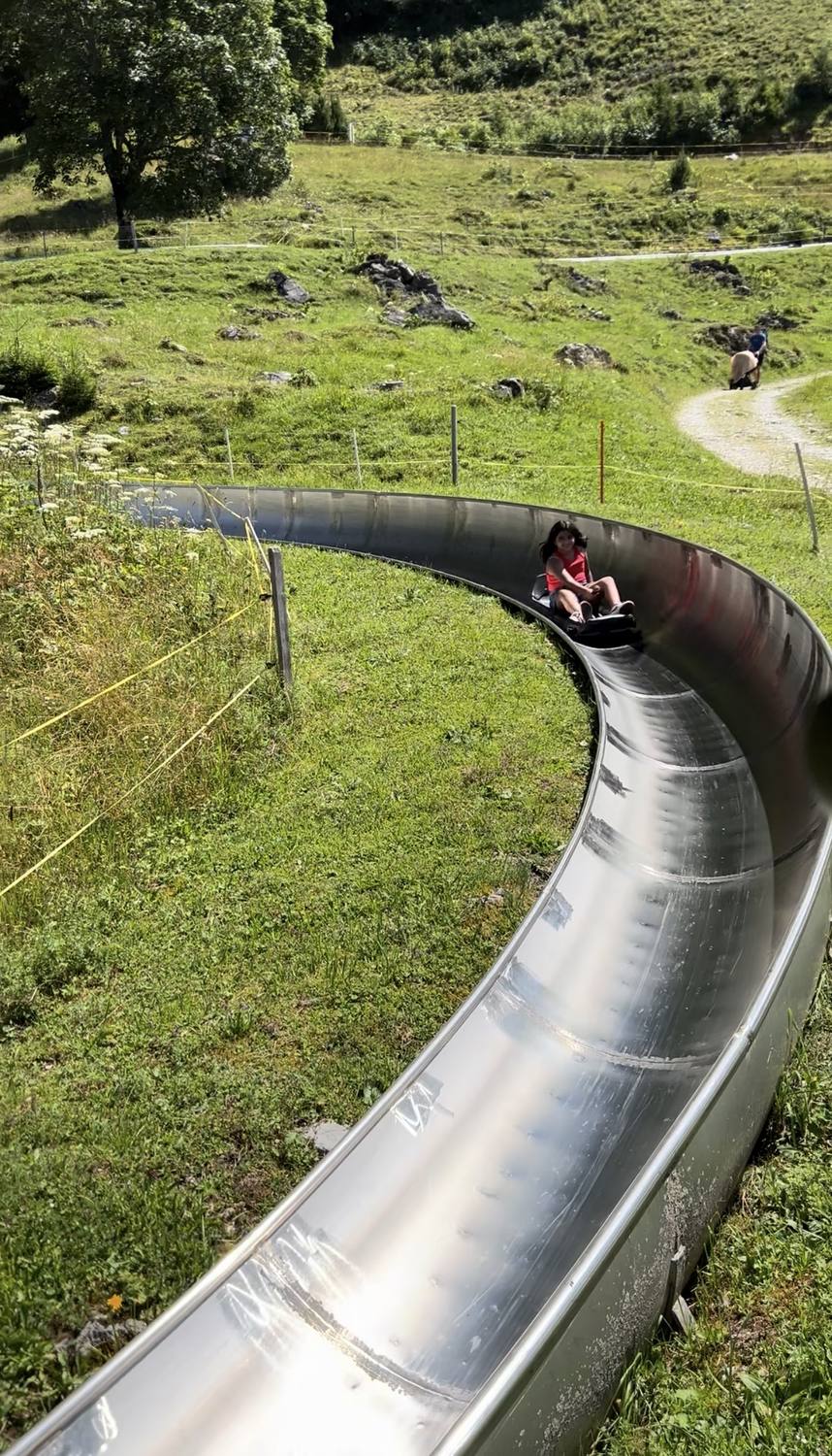
Pfingstegg
A cable car station above the village with a summer toboggan run.
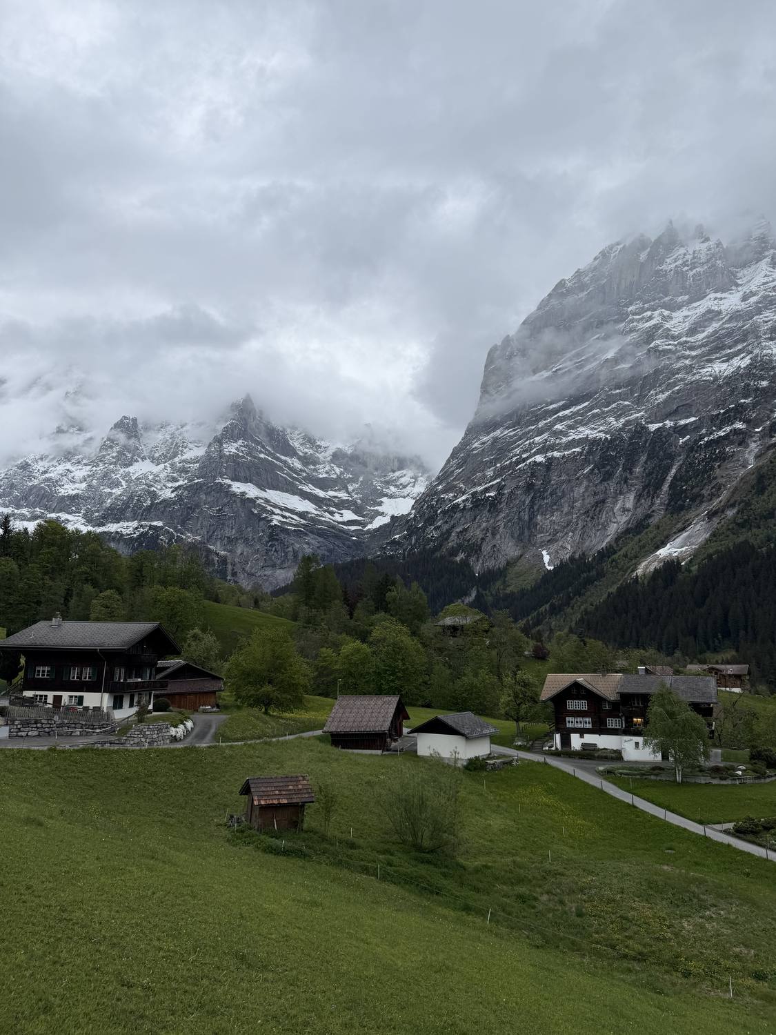
Wetterhorn
A dramatic snow-capped peak rising directly above the village.
Activities
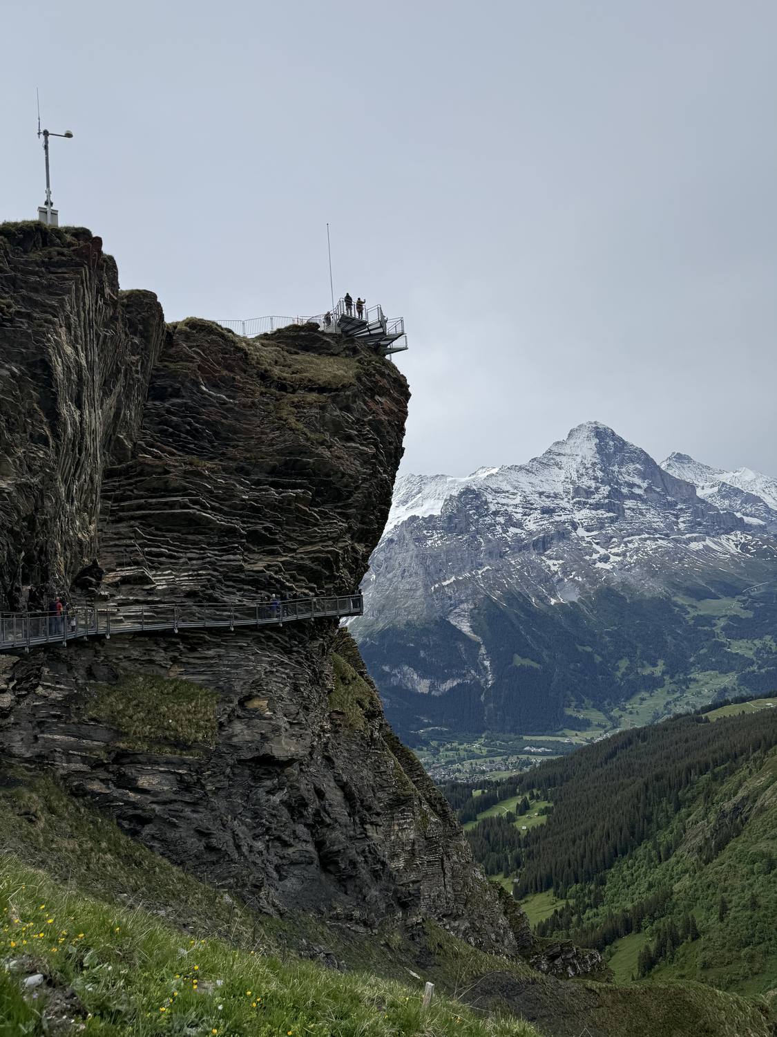
First cliff walk & cable car
Ride up and walk the panoramic platform above the cliffs.
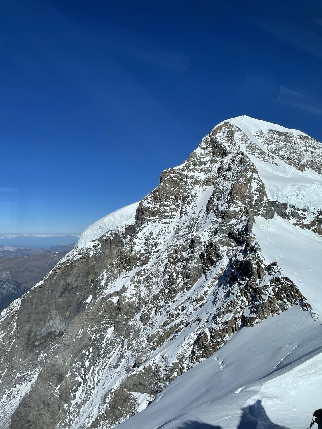
Cogwheel train to Jungfraujoch
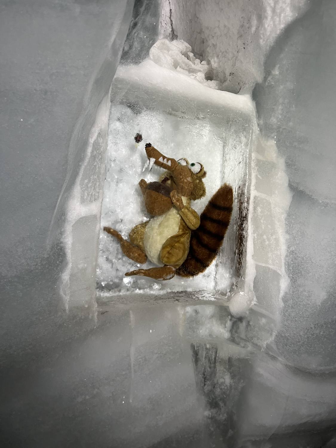
Europe's highest railway station, ice palace included.
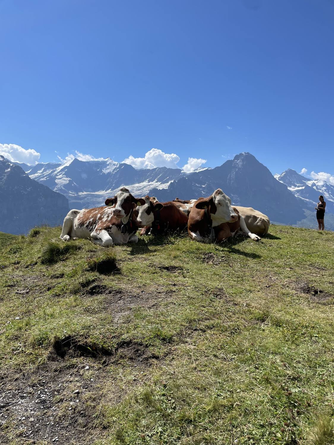
Cowbell farm visit
A working alpine farm, right in the valley.
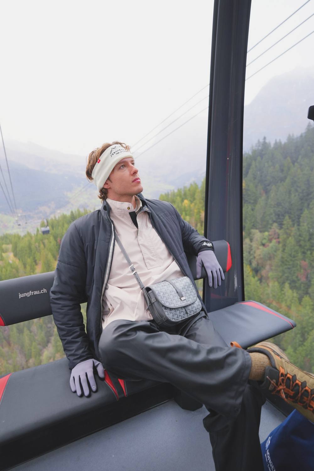
Eiger Express gondola
A fast, modern gondola ride toward Jungfraujoch, with Eiger views the whole way.
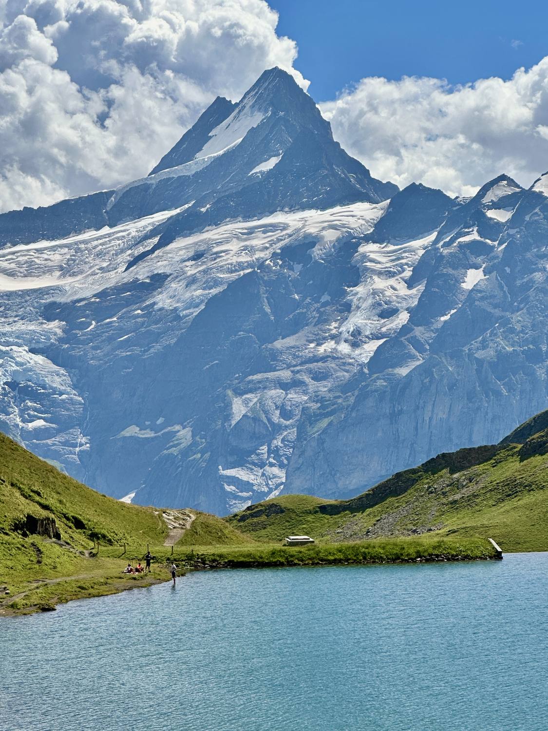
Bachalpsee hike
A gentle hike up to the lake for the classic Eiger reflection photo.
Tours to this destination
Photos of Grindelwald